
Site Survey & Field Verification
Site Survey
Survey connects the physical location to everything that follows. The right questions depend on the sign and project; this is more than a measurement visit.
See the work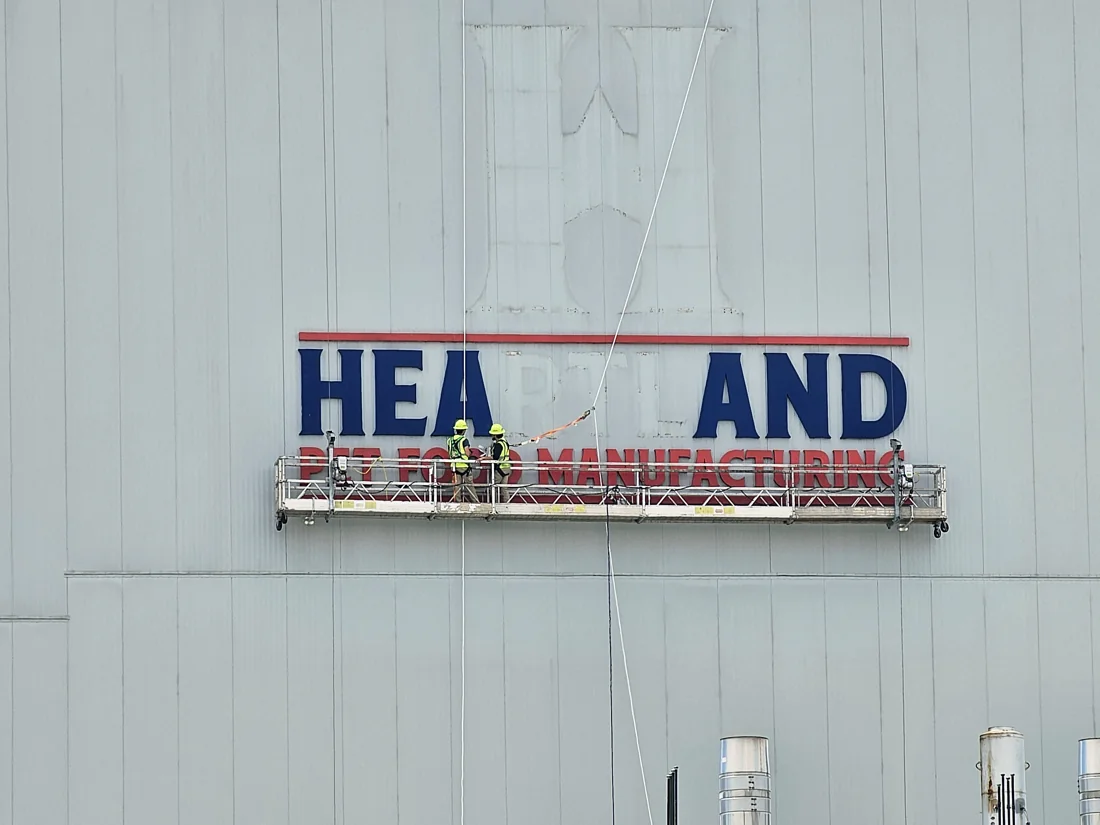
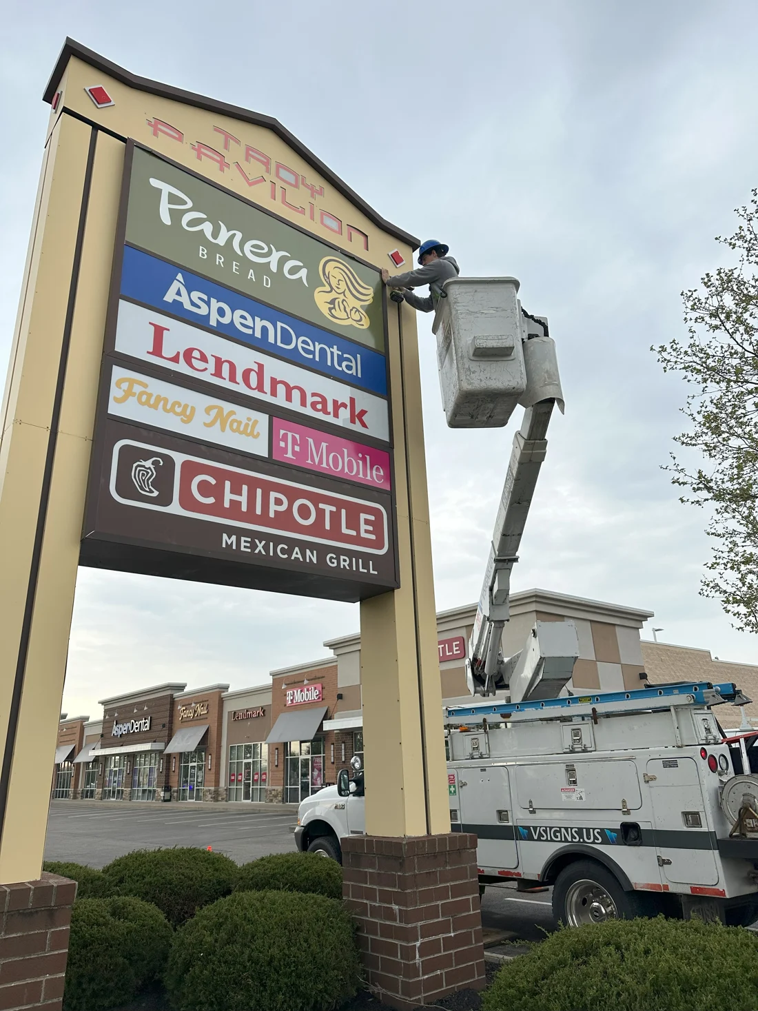
Project scope
Site information
Vantage gathers the project-specific field information needed to connect a proposed sign to the actual building, site, existing sign and installation conditions.
- Existing condition → project information
- Field inputs selected for the actual sign and site
Observe before assuming
What we check
The survey scope depends on your sign and site.
What are we attaching to?
Wall, façade, support, foundation or interior surface conditions can affect mounting, detailing and responsibilities. Document only the conditions relevant to the proposed sign.
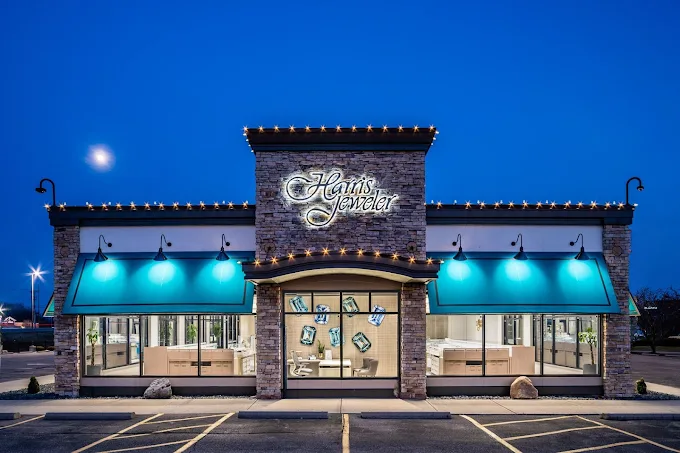
How much space is actually available?
Overall dimensions, sign-band limits, openings, architectural features and existing signs can change scale, proportion and placement.
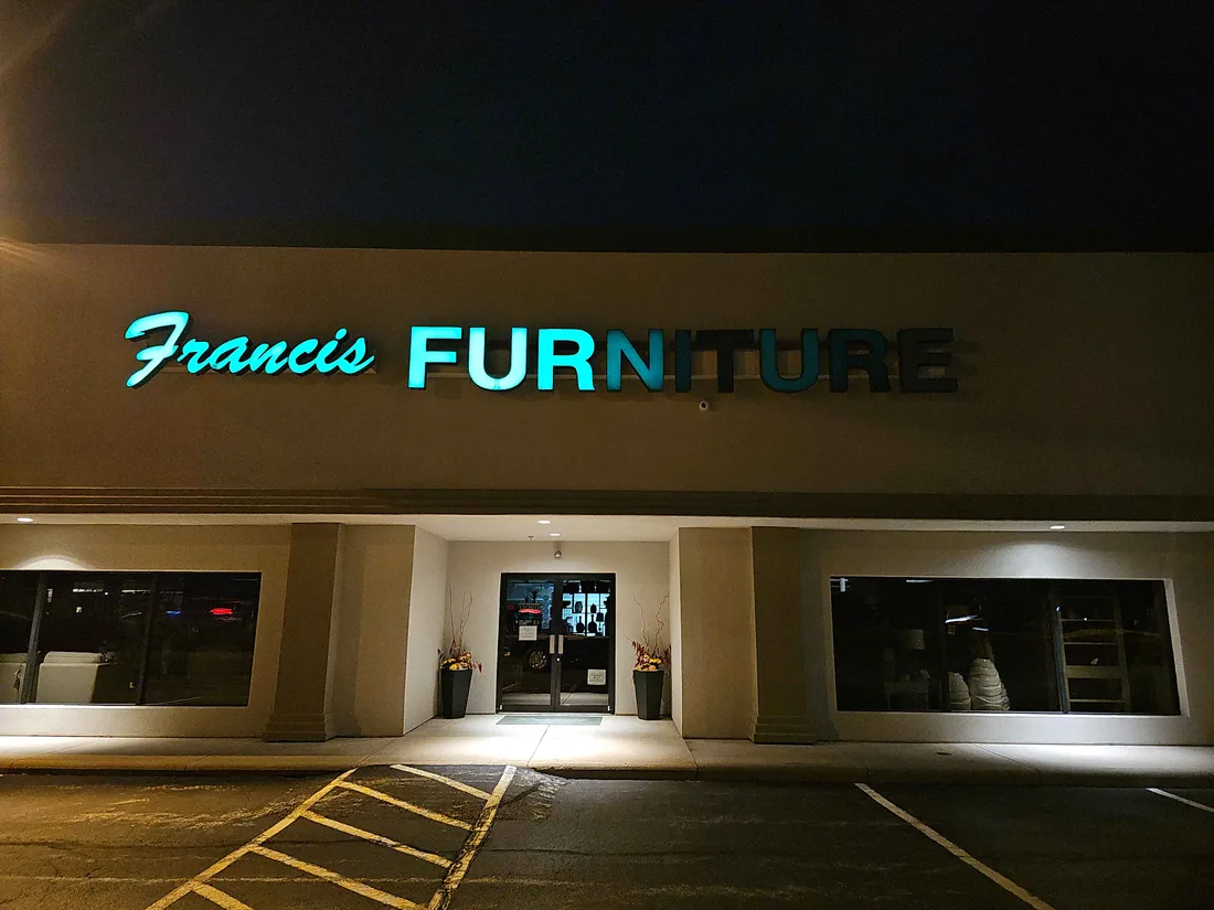
What is already there?
Existing signs, cabinets, structures, foundations, visible components and removal conditions can shape a reuse, replacement or service scope.

Where is power relevant?
For illuminated signs, available power and visible electrical conditions may need to be documented. Survey information does not replace electrical design, testing or jurisdictional inspection.
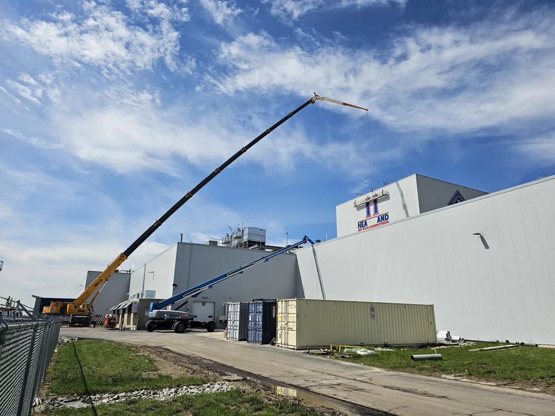
How will the crew reach it?
Height, equipment position, ground conditions, traffic, landscaping, overhead restrictions, occupied areas and obstructions can affect installation planning.
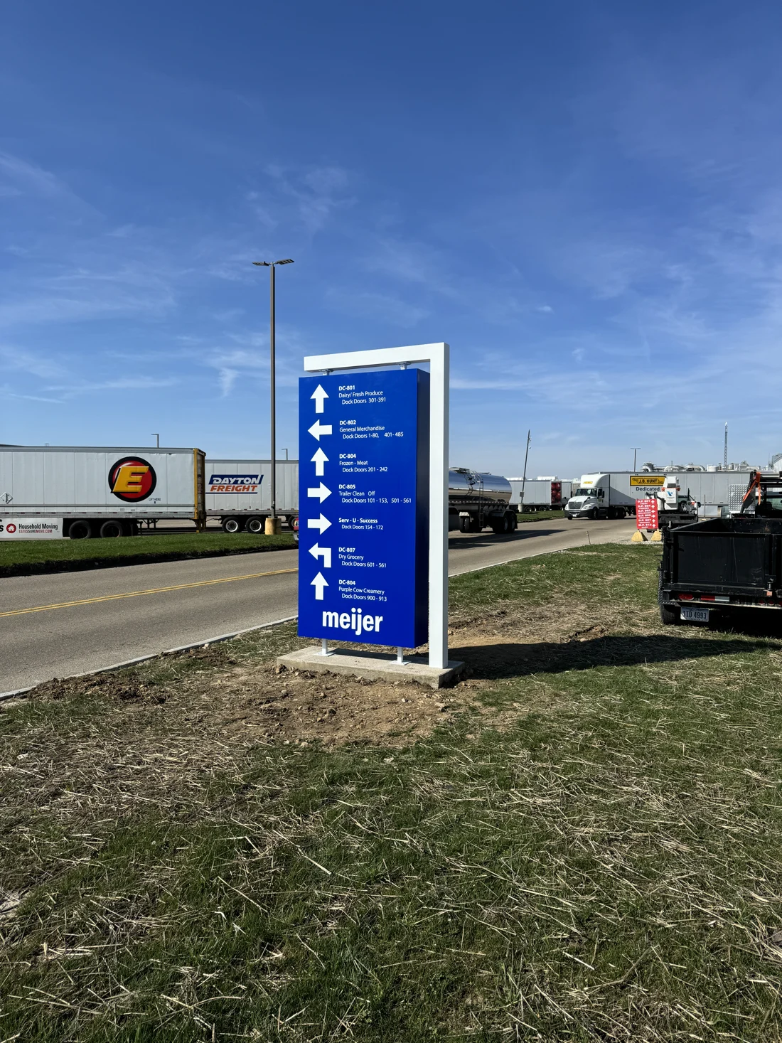
How will people see it?
Approach, viewing direction, distance, sight lines, orientation and surrounding context can affect location, readable scale and wayfinding decisions.
Project example · Blue Buffalo
When hands-on measurement was not practical.
Part of the Blue Buffalo scope replaced existing tower signage in a location that made a short hands-on survey impractical. Vantage triple-checked dimensions using scaling software, triangulated measurements and rooftop measurements before developing the corrected sign solution.
Survey information used
- Initial site visit showed the previously proposed sign was dramatically undersized.
- Existing-sign dimensions had to be confirmed at a difficult high-elevation location.
- The actual tower wall later differed from supplied information, requiring revised field hardware and planning.

Detailed survey planning
Field information travels
How survey information is used
Measurements and site conditions support design, approvals, fabrication and installation.
How project coordination connects the work- 01
Design
Site information can establish scale, proportions, placement, sign configuration and the building or property context shown in project drawings.
- 02
Engineering & Permitting
Address, proposed location, dimensions and existing conditions can support code research, submissions and licensed engineering coordination when required.
- 03
Fabrication
Reliable dimensions, mounting context and sign configuration help connect approved information to the physical work.
- 04
Installation
Location, attachment, height, access, equipment position and obstructions inform the field plan.
- 05
Service & Repair
Existing sign construction, visible condition, access and available identifying information help define the first service visit.
Different signs ask different questions
Survey requirements by sign type
Channel letters + building signs
Available sign area, wall construction, existing signs, mounting context, power where relevant, elevation and installation access.
Monument + pylon signs
Proposed location, approach, site context, visible utilities or existing structures, grade, access and foundation information where relevant.
Interior, ADA + wayfinding
Locations, wall conditions, routes, destinations, room or message information, dimensions and the sign quantities or types relevant to the scope.
Replacement + service work
Existing sign dimensions, visible construction and condition, faces or components, power information where relevant, mounting height and access.
Available site information
When is a site visit needed?
Existing drawings, sign schedules, dimensions and photographs may answer some project questions. A site visit addresses material gaps in that information. The scope identifies what needs checking and who is responsible.
Site Survey & Field Verification FAQ
Common questions
What happens during a sign survey?+
The survey scope depends on the project. It can document relevant dimensions, sign area, existing signs, mounting conditions, visible power information, placement, viewing context, property conditions, access, obstructions and photographs. It is not a universal checklist.
Does every sign project require a Vantage field survey?+
No. Current, reliable drawings, customer information, landlord criteria, photographs or other verified sources may answer the project’s field questions. The team should identify what is accepted and what still needs verification.
Can you discuss pricing before the survey?+
An early conversation can establish the sign concept and known cost drivers. A useful final scope may still depend on dimensions, construction, access, power, existing conditions or other site information.
Can architectural drawings replace a survey?+
They can be valuable and may be sufficient for some scopes. Drawings do not always reflect existing conditions, later construction changes, current signs, access or every field condition relevant to installation.
Does a survey determine whether the sign meets code?+
No. Survey information can support code research, permitting and engineering coordination. The survey itself is not code approval, a permit, structural analysis or engineering certification.
Is a sign survey the same as engineering?+
No. Survey documents project information and visible field conditions within its scope. Licensed engineering performs the professional analysis and sealed work required for particular structures, attachments or foundations.
Do I need to be present?+
That depends on property access, security, operating conditions and the information required. Confirm a site contact and any access restrictions when scheduling.
Can an existing sign be surveyed for replacement or service?+
Yes. Relevant information may include visible dimensions, sign construction and condition, faces or components, mounting, power information and access. Inspection or troubleshooting beyond visible documentation should be defined separately.
Start the scope
Plan a site survey
Share the address, proposed sign, available drawings, current photographs and known constraints. Vantage can identify which field questions still need answers before the project moves forward.
Start a project